I love big trees! My son and I are in the San Francisco Bay Area (Campbell, a suburb of San Jose) for a photo workshop he is taking all week. That gives me a lot of time on my own and I am trying to get out hiking and seeing new sites every day.
Today I drove east from San Jose on the Santa Cruz Highway (17) to Summit Road and headed north and the continued on Skyline Blvd. These roads wind along the top of the mountains, affording many amazing views. I especially loved the first several miles along Summit and Skyline, as the road in that stretch is just barely over one lane, with the trees hugging the road between vistas. After a while, the road opens up into a great, curvy two-lane road (I so wish I had rented a sports car or convertible!).
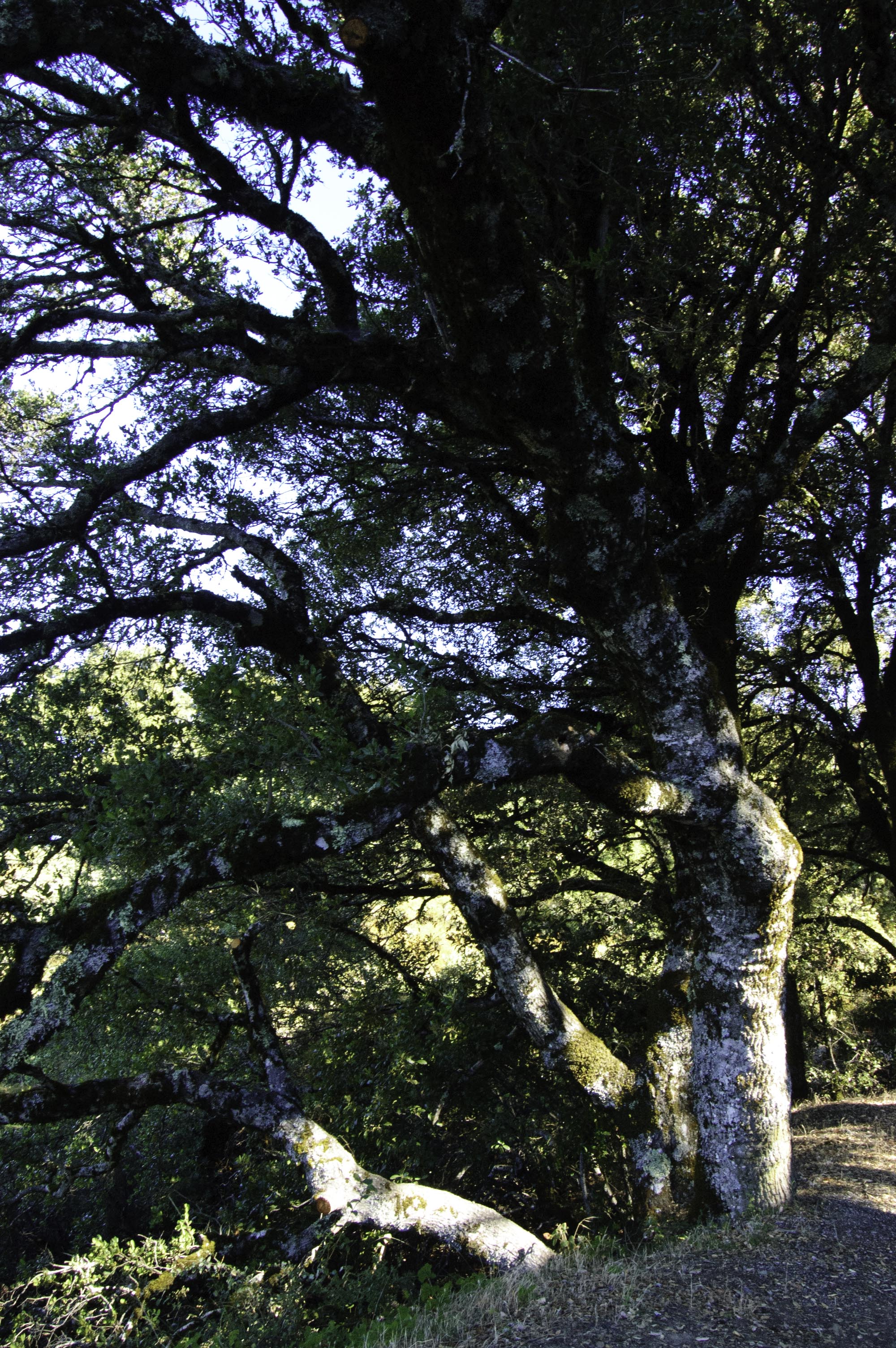
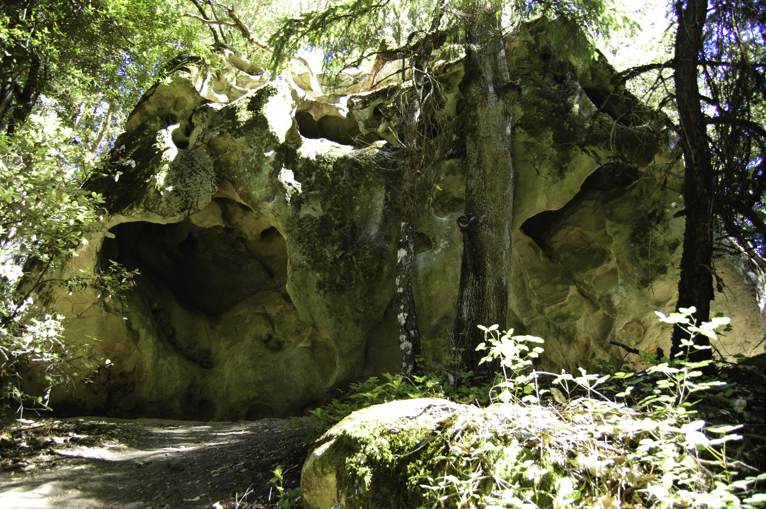
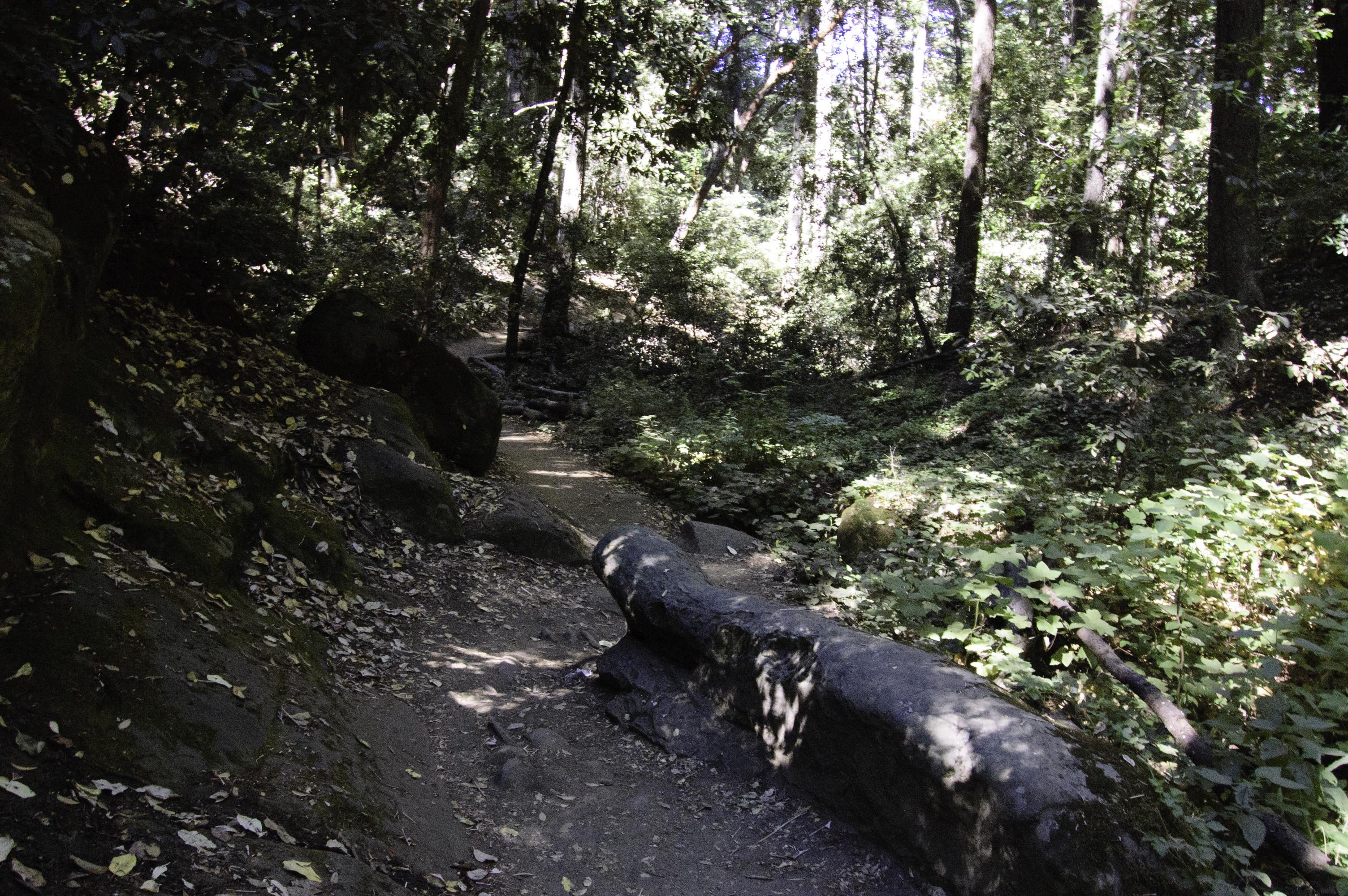
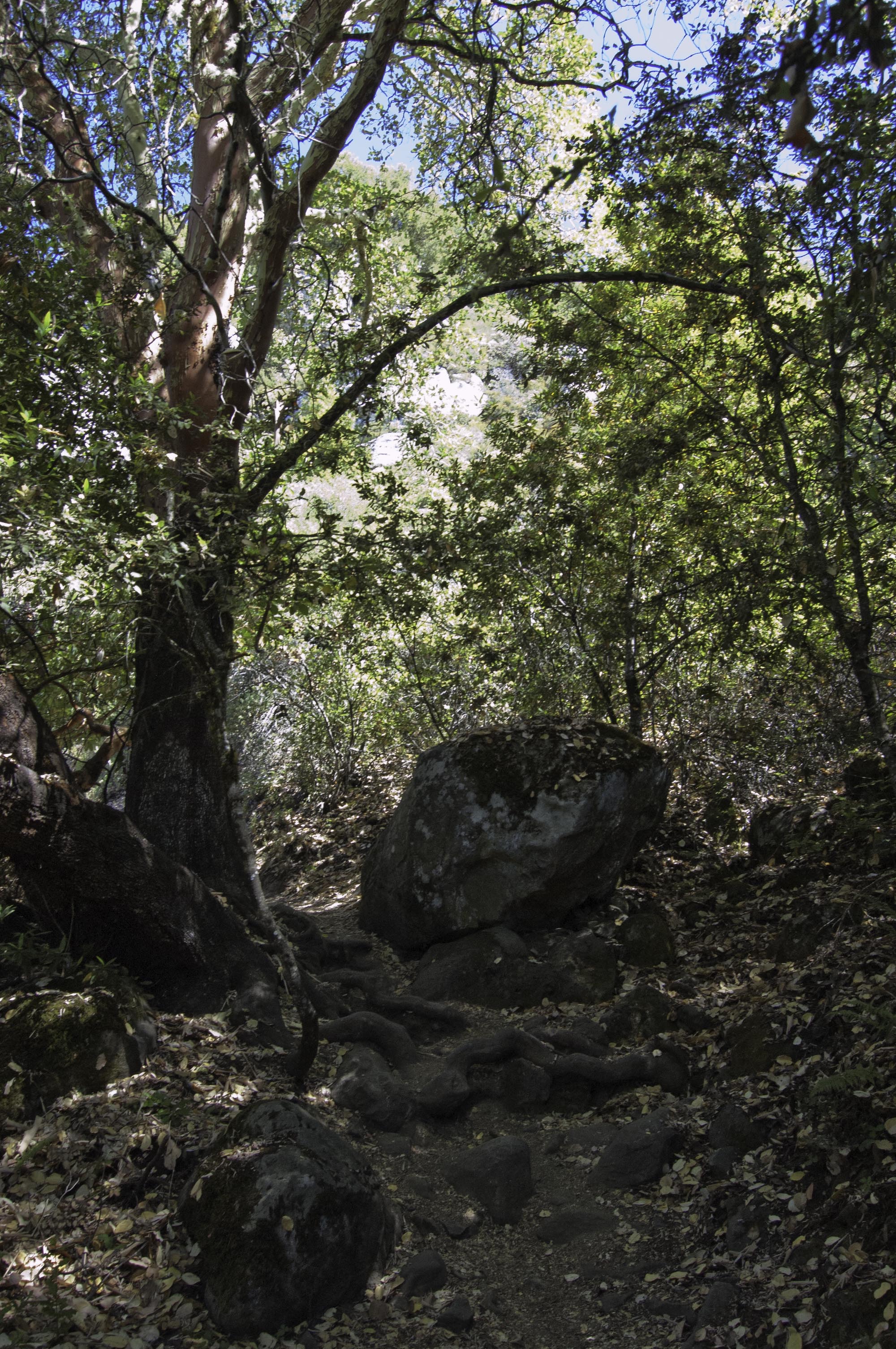
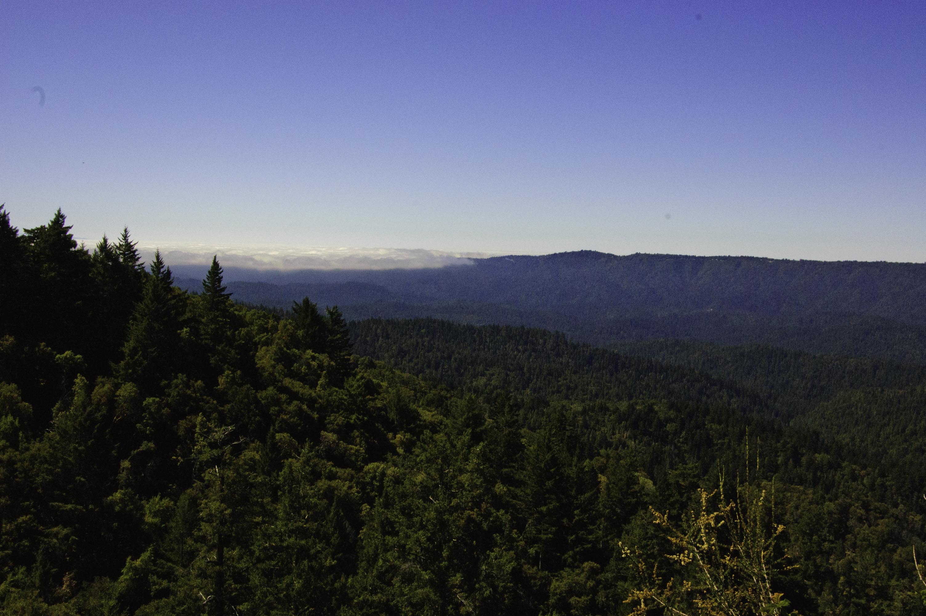
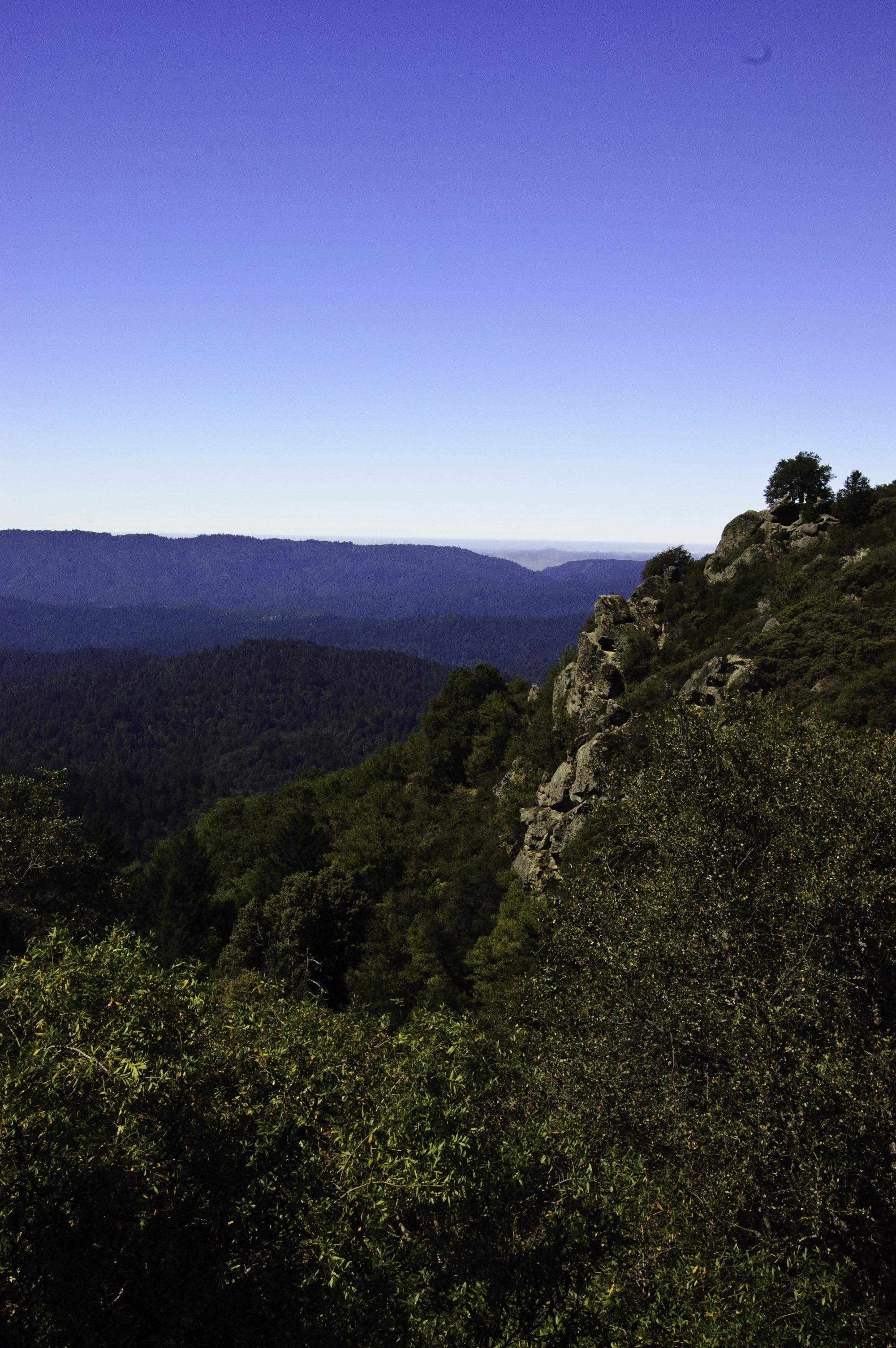
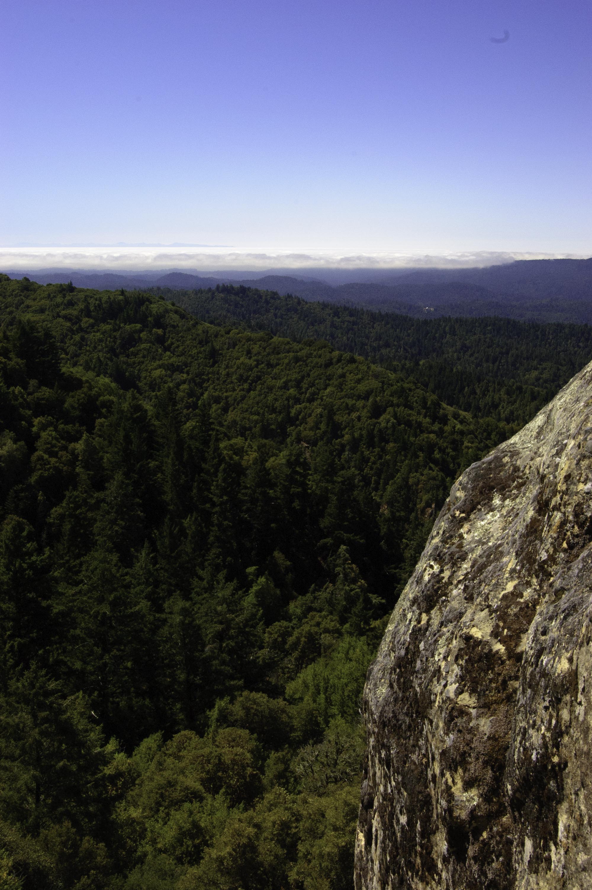
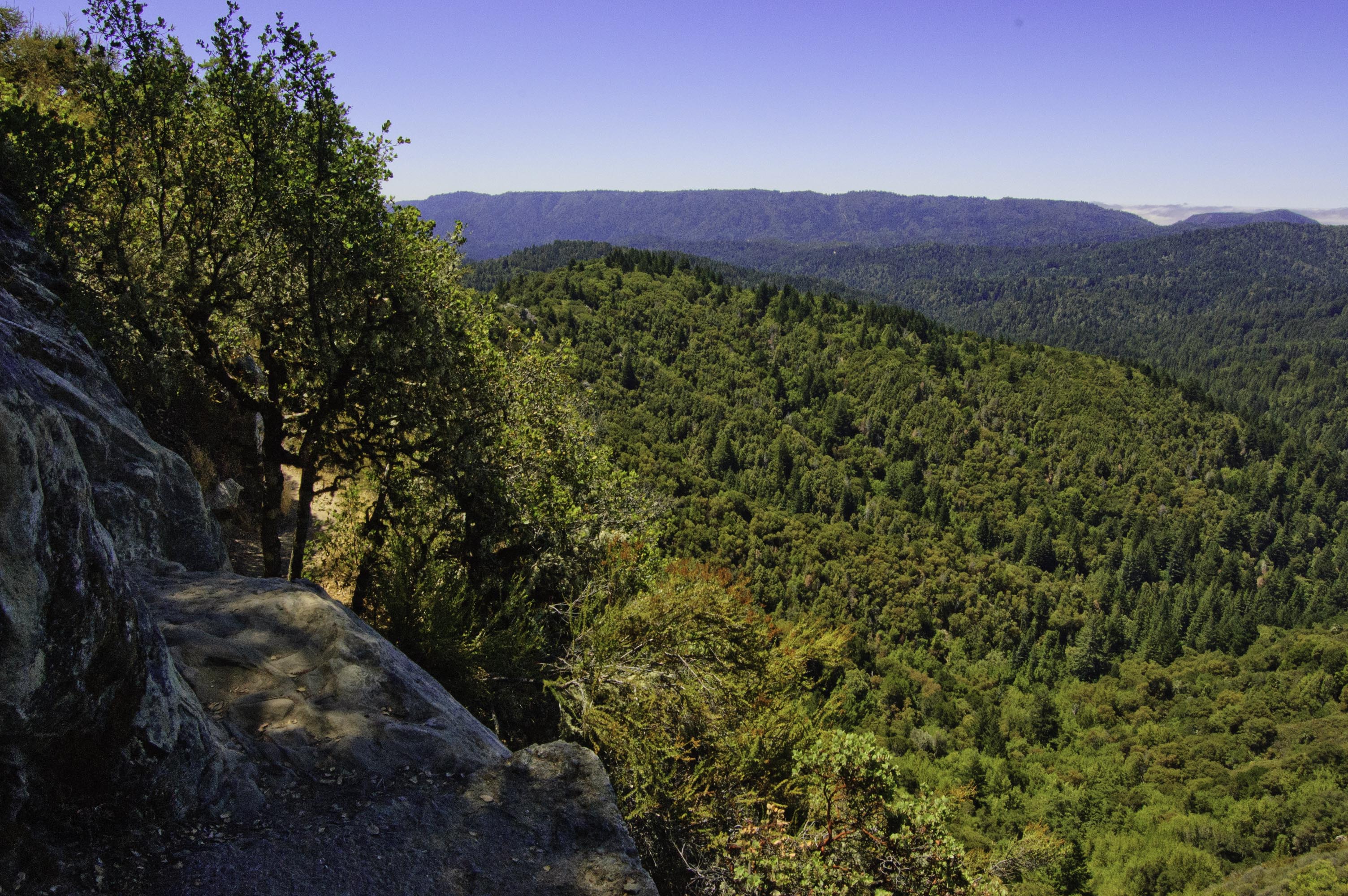
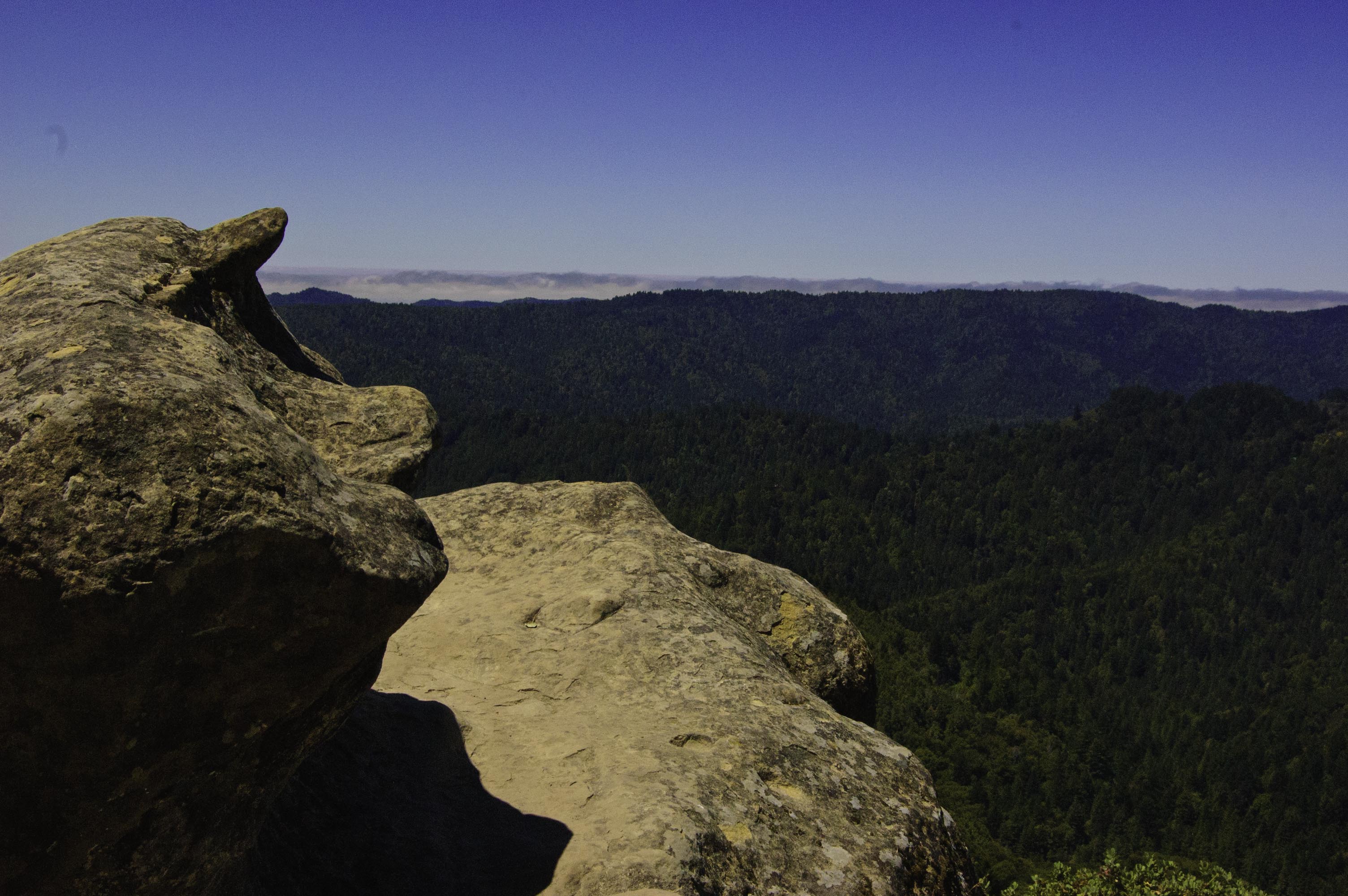
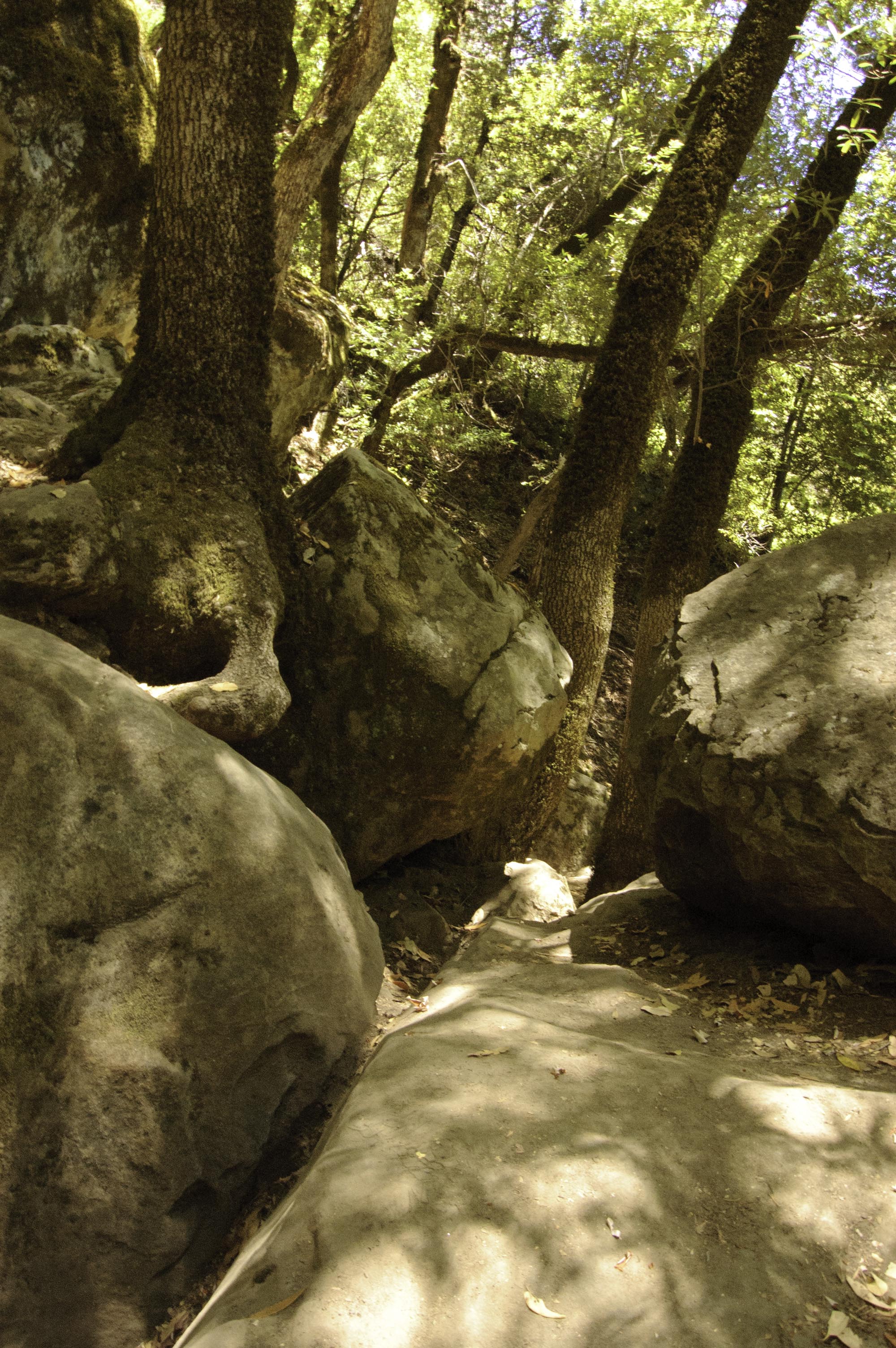
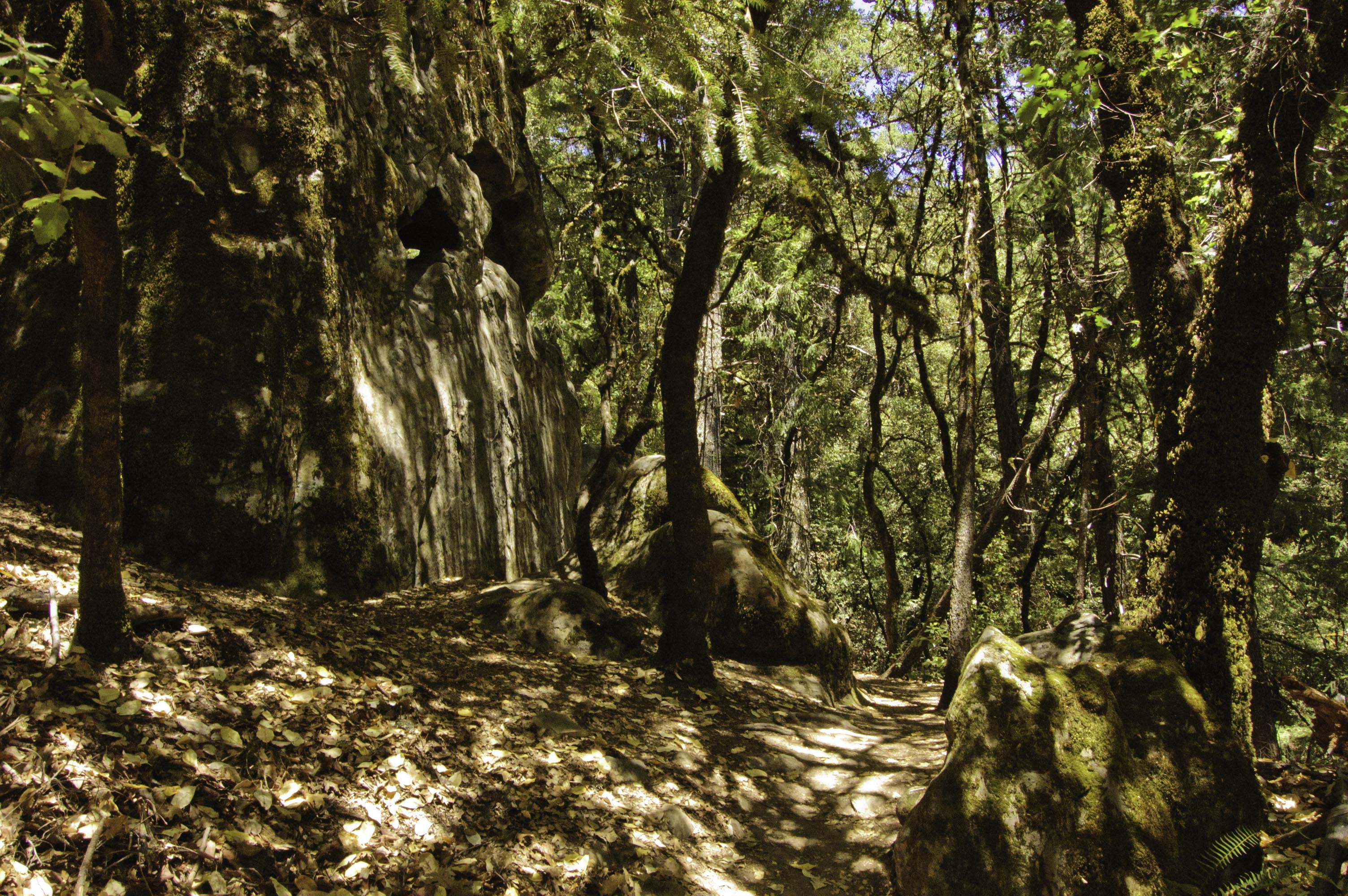
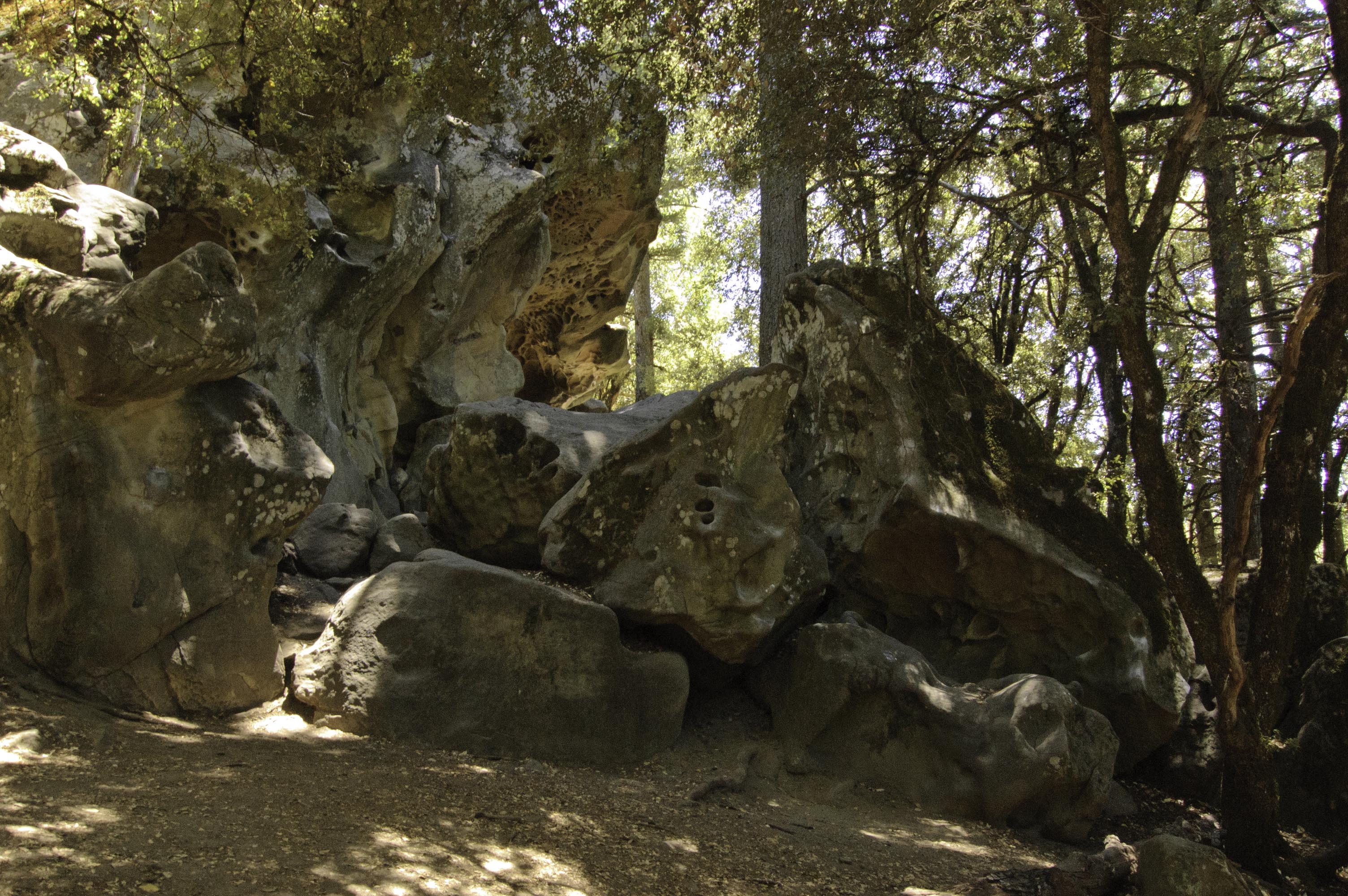
After quite a few miles of beautiful scenery, I reached Castle Rock State Park. The park has no facilities and requires self registration in the parking lot, though it seems many choose to park on the road to avoid the fee (no wonder CA parks are going broke!). The hike I chose was about 5.5 miles, plus probably another half mile or so of side trails, etc. I headed out at first on the Saratoga Gap Trail before taking a right turn on the Ridge Trail. I followed Ridge Trail first up to Goat Rock, a wonderful formation of rocks jutting out into the valley. I then took a side trip to the interpretive shelter to read up on some local history and ecology, and then continued on along the Ridge Trail to the junction near the campground with the Saratoga Gap Trail. I turned back onto the Saratoga Gap trail and headed back. Near the end, I also took a trip around the Castle Rock Trail. I can assure you that my out of shape legs and heart knew right away I was no longer in southern Michigan. This hike included about 650 – 800 feet of elevation gain which is quite a bit more than I have done in a long time. Still, a pretty moderate hike and a good warm up for the rest of the week.
After the hike, I drove down to San Carlos to pick up a couple rental lenses before heading back to Campbell. On my route back down the mountain, my iPad maps sent me down a “local only” road named Old La Honda that is just absolutely amazing. Tiny, skinny road perfectly paved, winding through huge redwoods. Such an incredible short drive!. I know that iPad maps is not the best, but sometimes the crazy things it does winds up being the highlight of your day!
Here are a few pictures from my hike: